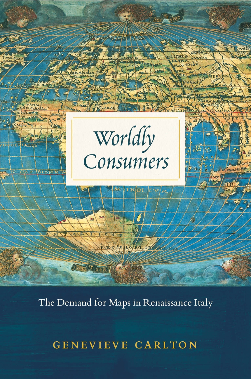
Worldly Consumers
The Demand for Maps in Renaissance Italy
Though the practical value of maps during the sixteenth century is well documented, their personal and cultural importance has been relatively underexamined. In Worldly Consumers, Genevieve Carlton explores the growing availability of maps to private consumers during the Italian Renaissance and shows how map acquisition and display became central tools for constructing personal identity and impressing one’s peers.
Drawing on a variety of sixteenth-century sources, including household inventories, epigrams, dedications, catalogs, travel books, and advice manuals, Worldly Consumers studies how individuals displayed different maps in their homes as deliberate acts of self-fashioning. One citizen decorated with maps of Bruges, Holland, Flanders, and Amsterdam to remind visitors of his military prowess, for example, while another hung maps of cities where his ancestors fought or governed, in homage to his auspicious family history. Renaissance Italians turned domestic spaces into a microcosm of larger geographical places to craft cosmopolitan, erudite identities for themselves, creating a new class of consumers who drew cultural capital from maps of the time.
Drawing on a variety of sixteenth-century sources, including household inventories, epigrams, dedications, catalogs, travel books, and advice manuals, Worldly Consumers studies how individuals displayed different maps in their homes as deliberate acts of self-fashioning. One citizen decorated with maps of Bruges, Holland, Flanders, and Amsterdam to remind visitors of his military prowess, for example, while another hung maps of cities where his ancestors fought or governed, in homage to his auspicious family history. Renaissance Italians turned domestic spaces into a microcosm of larger geographical places to craft cosmopolitan, erudite identities for themselves, creating a new class of consumers who drew cultural capital from maps of the time.
240 pages | 19 halftones, 4 line drawings | 6 x 9 | © 2015
Art: European Art
Geography: Cartography
History: European History
